Mount Phillip 100K Map area

Mount Phillip 100K Map area
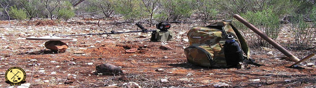
![]() by Detrackozi Wed 07 Dec 2011, 3:20 pm
by Detrackozi Wed 07 Dec 2011, 3:20 pm
Hi all
Here are the google overlays of the Qz in White (Quartz's Reef Line's) ,,,,,,,,and Qtz in red (dolerite sample gold bearing brecciated quartz vein.)
Blue are the Creeks, Yellow is the major Track,
qtz & qz and water ways & Tracks Mount Phillips area.zip
If a ADD show up then just click close top right side.
David
Detrackozi
Permissions in this forum:
You cannot reply to topics in this forum|
|
|