GPS using Backcountry Navigator on Android phones
4 posters

GPS using Backcountry Navigator on Android phones
![]() by wizman Sun 26 May 2013, 11:04 pm
by wizman Sun 26 May 2013, 11:04 pm
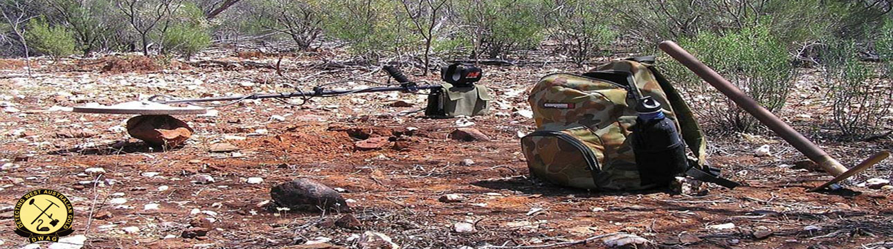
Was wondering if anyone is in interested in using an Android GPS app on their smart phone to display the kml files of applied or granted tenements downloaded from Tengraph as well as notes and paths drawn in Google earth. I use this app here in U.S. as well as when I'm in W.A.
The maps I use are all downloaded to the phone since I have no internet connection in the bush. I can outline the process if anyone would like it.
Cheers
The maps I use are all downloaded to the phone since I have no internet connection in the bush. I can outline the process if anyone would like it.
Cheers
wizman
Re: GPS using Backcountry Navigator on Android phones
![]() by martinjsto Mon 27 May 2013, 2:22 pm
by martinjsto Mon 27 May 2013, 2:22 pm
Hi Wizman, I use ozi explorer or google earth with a mouse gps attached to my laptop, then with the downloaded tenaments and geo overlays i know exactly where I am and on what type of tenement and ground, how does the android app work with no internet, I take it you can view the maps and zoom in as they are stored on the phone but what about your location in relation to the tenanted boundaries without gps location?
do you draw a boundary line around each tenement on earth first then save as a kml and load to the app? this still dont give you your location. I am always interested in options with navigation and i would like to know your process wizman, thanks buddy
Martin
do you draw a boundary line around each tenement on earth first then save as a kml and load to the app? this still dont give you your location. I am always interested in options with navigation and i would like to know your process wizman, thanks buddy
Martin
_________________
keep safe out there
Martin

martinjsto- Forum Admin
Re: GPS using Backcountry Navigator on Android phones
![]() by wizman Mon 27 May 2013, 11:35 pm
by wizman Mon 27 May 2013, 11:35 pm
Martin,
I'll describe my work process in a high level and provide some detail later if needed.
1. Load all of the tenement info and geology info overlays onto your home pc (as described by someone on this site previously) then research and look for interesting places to hunt. Business as usual here.
2. When you've found, for example, a pending exploration lease that you want to detect on:
a. left click on the lease being displayed which will highlight the particular KML file in the left "places" pane of GE.
b. right click on the file name being highlighted and select "properties" from the drop down list.
c. go to the opacities property of the area and set it to 0 %.
d. click ok.
e. right click again on the file name being highlighted and select "save-as" and save it off to a different directory (and name if you like) that you can find easily.
ON the PHONE with an internet connection:
3. Download the app "Backcountry navigator" from the google apps store. I think it was about $10 when I did 2 years ago.
4. Read the manual as required.
5. Turn on the "preview enabled" setting.
6. Select the NASA landsat maps or Australia Mapconnect. (note these maps are not of high detail but are easily downloaded to the phone and don't take up much space) The cool thing is the whole system fits in my backpack once I leave the car.
7. Locate the approximate area on the earth you're going by clicking the magnifier icon on the top of the screen and entering, for example, Leonora.
8. At some point prior to this you will want to transfer the modified kml file from the PC to the phone via the USB cable.
9. From the app create a new trip.
a. select trip data.
b. create a new trip data base. "Leonora 2013"
c. select trip data again.
d. import the kml file from the location on the phone you transferred it to.
e. You should be able to find the outline of the lease you imported on the display. Sometimes you have to zoom in or zoom out to force the app to redraw the screen.
f. Now to get it to work without being connected to the web you'll need to download map tiles for the area you're detecting. This is easy.
g. go to the map layers screen of the app and press the Select Areas for download. Draw a box around the area you want. Since the maps are not highly detailed they don't take much space so draw a big box.
h. Select a detail of 13 (highest) for the NASA landsat maps.
i. Begin download.
j. Shouldn't take long.
k. Change the preview enabled setting to preview disabled. This will verify that the maps downloaded correctly and you are looking at them the way you will out in the bush.
10. One thing I do in GE is to make tracks of trails (for driving) that I see when zoomed in to take me to the place of interest in or near a lease. This is done using add path. You can draw circles and boxes and add text to GE and them save them as KML files to be imported to the phone. Note you must save them as KML files not the zipped kmz version.
I've sort of glossed over things but it should give you a good idea of the process. Once you've done it a couple of times it's pretty fast.
Hope this helps.
Wizman
wizman
Re: GPS using Backcountry Navigator on Android phones
![]() by krazycaptain Sun 02 Jun 2013, 7:05 pm
by krazycaptain Sun 02 Jun 2013, 7:05 pm
Good evening Wizman,
Great information that you have provided to the forum readers.
Should you make a DVD and or CD you could sell them to those not so savvy at reading your information and being able to inputting data or downloading without being able to view how it takes place.
Just a thought.
Cheers
Captain
Great information that you have provided to the forum readers.
Should you make a DVD and or CD you could sell them to those not so savvy at reading your information and being able to inputting data or downloading without being able to view how it takes place.
Just a thought.
Cheers
Captain

krazycaptain
Re: GPS using Backcountry Navigator on Android phones
![]() by martinjsto Sat 08 Jun 2013, 1:46 pm
by martinjsto Sat 08 Jun 2013, 1:46 pm
ok done as above and all seem to work ok. thanks Wizman for the info, i will use this as a backup as batteries on phone wot last long. it seems to be a bit slow loading but i have downloaded around 10 tenement areas and all show up, map detail is poor but as a backup and for 10 bucks i rate it quite high.
good one
good one
martinjsto- Forum Admin
Re: GPS using Backcountry Navigator on Android phones
![]() by wizman Sun 09 Jun 2013, 7:43 am
by wizman Sun 09 Jun 2013, 7:43 am
Martin,
You're right about the map quality. They have really highly detailed ones for here in the states which is what I originally got it for. By the time I get to the detecting area even in W.A. I have the darn maps memorized and only need to get to the squiggles and circles I've drawn using google earth. I also carry a couple of GE photo printouts to look at if I forget what the squiggles were for.
Hope it works for you.
Wizman
wizman
Re: GPS using Backcountry Navigator on Android phones
![]() by wizman Thu 27 Feb 2014, 12:00 pm
by wizman Thu 27 Feb 2014, 12:00 pm
Great news,
Backcountry Navigator has added digital globe high resolution downloadable satellite maps as an option. There's a $25 U.S. annual subscription fee but they're great. I did a quick check and found full coverage in the Mt. Magnet/Cue area and believe all of Oz should be covered.
Here's a preview.
[You must be registered and logged in to see this link.]
Hope someone can use it, I'm trying it out.
Wizman.
wizman
Re: GPS using Backcountry Navigator on Android phones
![]() by Narrawa Fri 28 Feb 2014, 5:02 am
by Narrawa Fri 28 Feb 2014, 5:02 am
When using a smart phone as a nav aid, you can switch the phone into "flight mode", saving the battery.......batteries on phone wot last long.
Mobiles use the max power while searching for a cell, when they find one they lower the power till its lost again.
_________________
Click there :arrow: For Mytube [You must be registered and logged in to see this image.]

Narrawa
» THE HAPPY PROSPECTOR
» Happy Prospector Pro for Android Released.
» Sat Phones
» Mobile Phones
» KOS HEAD PHONES
» Happy Prospector Pro for Android Released.
» Sat Phones
» Mobile Phones
» KOS HEAD PHONES
Permissions in this forum:
You cannot reply to topics in this forum